The project
Understanding vegetation through fluorescence
- FLEX-S3 launch 2026
- 300 m pixel
- L2–L4 products
What is SpaFLEX?
Plants emit a faint glow during photosynthesis, invisible to the naked eye. It carries information about plant health, water stress and carbon uptake.
ESA's FLEX mission will capture it from orbit for the first time. SpaFLEX-Exp maximises its scientific return, linking the systematic Cal/Val protocols to new Level 2 and advanced Level 3/4 products.


- Why SpainHigh solar irradiance and a stable atmosphere, ideal for measuring a faint signal.
- Diverse ecosystemsWetlands, mountain forests, dehesa and semi-arid shrublands in one country.
- Open scienceValidated data delivered through the SpaFLEX-Exp data centre.
From orbit to the leaf
Satellite
FLEX-S3 · 300 m
Fluorescence and reflectance for every 9 ha pixel.
Aircraft
Hyperspectral · metres
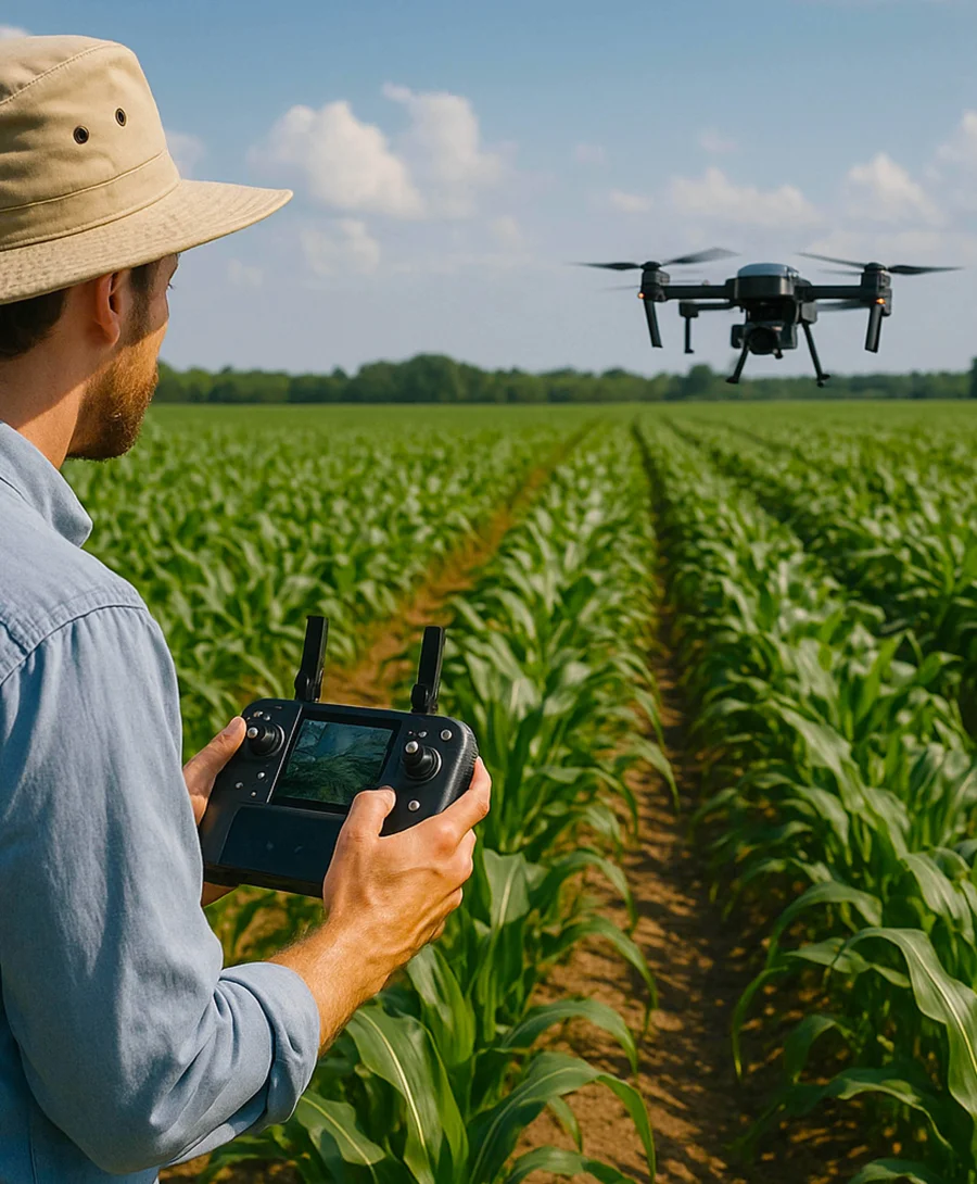
Airborne and drone campaigns in step with the overpass.
Towers
Ground network · point
FloX, eddy covariance towers and spectroradiometers record continuously.
Leaf
Reference · millimetres
Leaf-level glow is the traceable reference.
Each level zooms in on the one above: what the leaf measures is the reference the satellite is checked against.
Overall objective
“Maximize the scientific return of the FLEX mission by linking the systematic implementation of Cal/Val protocols directly to the development of novel L2 and advanced L3/L4 FLEX products for Earth system applications.”SpaFLEX-Exp Consortium — 2024

Six objectives
01 Systematic validation
Cal/Val Plan Execution
Systematically execute the Cal/Val plan — including upscaling and intercomparison — to deliver the first traceable reference datasets for FLEX-S3 products.
02 Frm compliance
Data Management & FRM
Achieve formal Fiducial Reference Measurements (FRM) certification for Spain's Cal/Val network. Operate the SpaFLEX-Exp data center for validated L2 data delivery.
03 Novel L2 products
Algorithm Development
Develop and improve FLEX Level 2 retrieval algorithms, including SIF, reflectance, and GPP products, with full end-to-end uncertainty budgets.
04 Advanced L3/L4
Ecosystem Products
Develop predictive L3/L4 products for ecosystem productivity, stress detection, and carbon balance using FLEX data combined with ancillary observations.
05 Biodiversity & ecosystems
Ecological Applications
Exploit FLEX products to link fluorescence with functional traits, biodiversity indicators, and ecosystem stability across diverse Spanish landscapes.
06 Cross-mission
Interoperability
Ensure methodologies are transferable to Sentinel-2, EnMAP, and CHIME — promoting consistency across current and future optical Earth observation missions.
Three subprojects, one chain
SP1
Coordination & Core Science
LEO-UVAL Laboratory of Earth Observation, University of Valencia
Scientific and coordination nucleus. 20+ years of involvement in FLEX mission foundational design. Prof. José Moreno currently chairs the FLEX Mission Advisory Group. Leads L3/L4 predictive modelling and ecological attribution studies.
FLEX DESIGN · L3/L4 PRODUCTS · MISSION ADVISORY · SIF SCIENCE
SP2
Operational Validation
EBD + CIDE Doñana Biological Station + Desertification Research Centre CSIC
Operational validation engine. Executes field campaigns, performs upscaling from ground to satellite. Leads scientific exploitation for biodiversity and ecosystem stability. CIDE specialises in water stress and Mediterranean degradation under climate change.
FIELD CAMPAIGNS · UPSCALING · BIODIVERSITY · WATER STRESS
SP3
Metrological & Airborne
INTA Remote Sensing Systems Area, National Institute of Aerospace Technology
Metrological backbone of SpaFLEX-Exp. Defines error propagation and uncertainty budgets. Operates Airborne Hyperspectral System with CFL SIF sensor. Manages FRM certification and operates the SpaFLEX-Exp data centre.
METROLOGY · AIRBORNE SIF · FRM CERT. · DATA CENTRE
Work packages
WP1Project Management & CoordinationLEO-UVAL (SP1)
Overall project coordination, ESA reporting, quality assurance, and communication between subprojects. Includes scientific dissemination and coordination with international Cal/Val networks.
WP2Cal/Val Protocol Development & Uncertainty AnalysisINTA (SP3)
Standardised measurement protocols for SIF and reflectance. End-to-end uncertainty budgets following FRM and metrological best practices. Instrument characterisation and radiometric calibration.
WP3Airborne & UAV CampaignsINTA (SP3)
Acquisition of hyperspectral airborne and UAV data over Cal/Val test sites. Integration of CFL SIF sensor into INTA's Airborne Hyperspectral System. Campaign coordination with satellite overpasses.
WP4Operational Ground Cal/Val NetworkEBD-CSIC (SP2)
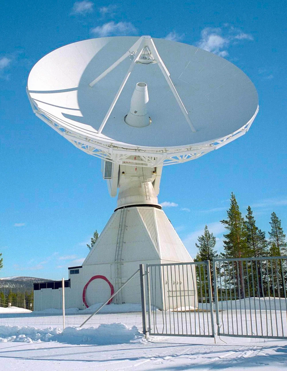
Deployment and operation of ground instrumentation (FloX, eddy covariance towers, spectroradiometers) across Spanish Cal/Val test sites. Upscaling from field to satellite pixel.
WP5FLEX Product Development & Scientific ExploitationLEO-UVAL (SP1)EBD-CSIC (SP2)
Development of novel L2 algorithms and advanced L3/L4 products. Scientific exploitation for biodiversity, carbon, and water applications. Link with EU land management frameworks.
WP6Data Centre & Open Science DisseminationINTA (SP3)
Operation of the SpaFLEX-Exp data centre. Open data publication (FloX, eddy covariance, airborne datasets), outreach, and contribution to international Cal/Val initiatives and CEOS standards.
Key data
- 3Subprojects & partner institutions
- 2026FLEX-S3 launch
- 300mSpatial resolution of FLEX-S3
- 5+Cal/Val test sites across Spain
- 20+Years of LEO-UVAL in FLEX mission design
- L2–L4Product levels addressed